
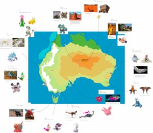
 Last year I made a fakemon pokedex for my imp project. I made concepts for new pokemon based on the flora and fauna of Australia. After I had a good number of concepts, I started to draw some of them and insert them into a pokedex in google slides with some information about their abilities. This year I continued that project from a different angle. I created a map for the region that I based the pokedex on: Australia. I looked at towns in Australia to add to my fictional region as important places in the story that I will write later on. I am also considering certain islands nearby such as Tasmania or New Zealand as side stories. My overall goal is to make a map, story, and a little bit of thinking about the game similar to the actual pokemon games. A challenge I encountered was getting everything I wanted to include in the map be done on time. Also, the fact that the zoomed out version of the map makes it hard to see the towns I designed and the details that represent them, such as the town with the honey and beehives, where it becomes very hard to see the details of my drawings. If I were to make this project again I think I wouldn’t use Procreate and would find an app with the infinite zoom feature.
Related Projects
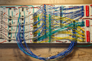
Daniel H. (with Maya D.) | Breadboard-Based Calculator
Mentor: Alison
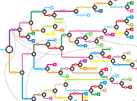
Lavan Y. | A Wish Called Fall
Mentor: Ruma